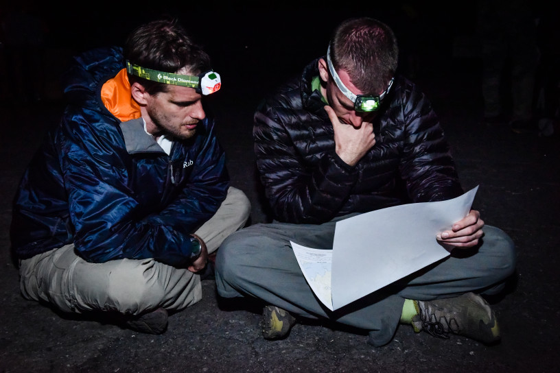
Introduction to Land Navigation
This post builds on the Introduction to Map-Reading to cover some basic land navigation / orienteering techniques. Class 1: Pace Count Class 2: Dead Reckoning Class 3: Terrain Association Class 4: Route Planning
This post builds on the Introduction to Map-Reading to cover some basic land navigation / orienteering techniques. Class 1: Pace Count Class 2: Dead Reckoning Class 3: Terrain Association Class 4: Route Planning
Hank Keirsey has agreed to let us post these short instructional videos here for your benefit. Lesson 10: Basic knots Class 10.1 – Intro to Knots Class 10.2 – The Square Knot Class 10.3 – The Bowline Class 10.4 – The Round Turn and Two Half Hitches Class 10.5 – The Figure Eight

This post will introduce you to the basics of reading a map. It is the first in a series of posts designed with the intent to help competitors develop a basic understanding of map reading and orienteering/ land-navigation. Class #1: Map Familiarization Class #2: Symbols and Colors Class #3: Terrain Features Class #4: Contour Lines (Elevation Changes on a Map) Class #5: Measuring Distance Class #6: Determining Direction of Travel